
Disputed territory · Himalayas
Aksai Chin
Frozen: both armies deployed, talks resumedUpdated October 12, 2026
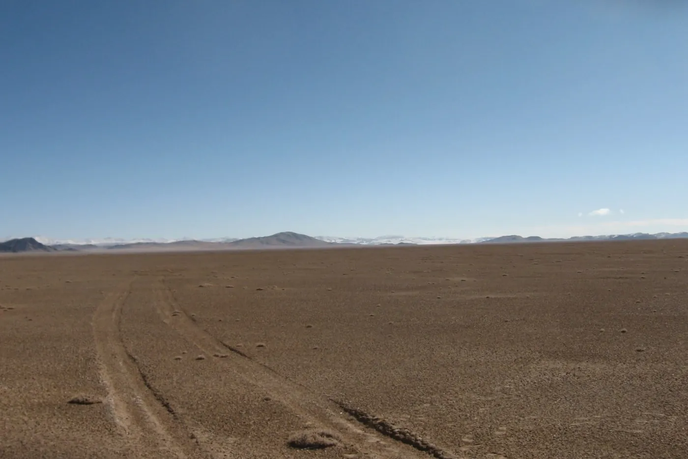
Aksai Chin is a high, cold desert of about 38,000 km², by India's figure, that China holds and India claims as part of Ladakh. China says the area has always belonged to Xinjiang and Tibet. China built a road across it in the mid-1950s, and the quarrel over it helped lead to a war in 1962. Since then the unmarked Line of Actual Control (LAC) has separated the two armies. Their troops faced off from May 2020 until a deal on patrols in October 2024. In June 2020 a clash in the Galwan Valley killed 20 Indian and 4 Chinese soldiers, by each government's count.
- Area
- About 38,000 km²
- India's figure
- Held by China since
- 1950s
- most of it, and nearly all after 1962
- Average height
- About 5,200 m
- above sea level
- Killed at Galwan
- 20 and 4
- Indian and Chinese soldiers, June 2020, each government's count
Aksai Chin in 30 seconds
- China holds Aksai Chin, a high desert with almost no people. India claims it as part of Ladakh. China says it has always been part of Xinjiang and Tibet.
- China built a road across Aksai Chin in the mid-1950s. The quarrel over it helped lead to the 1962 war, which left China in control.
- The Line of Actual Control, an unmarked line, separates the two armies. A clash in the Galwan Valley in June 2020 killed 20 Indian and 4 Chinese soldiers, by each government's count.
- After four years of standoffs, India and China agreed on patrols in October 2024. They have held regular border talks since, but neither has given up its claim.
Who controls Aksai Chin?
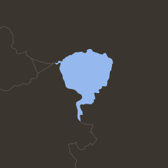
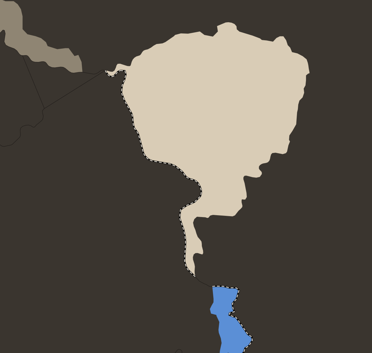
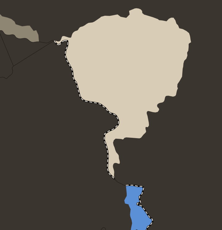
China controls Aksai Chin, and India claims it. China runs most of the area as part of He'an and Hekang counties, which it created in Hotan prefecture, Xinjiang, in December 2024. The rest falls under Rutog county in Tibet. India counts Aksai Chin as part of Leh district in its union territory of Ladakh, and protested the new counties on January 3, 2025. The land is a high, cold desert averaging about 5,200 m above sea level, with almost no permanent population.
India also treats Aksai Chin as part of the Kashmir dispute. It counts Aksai Chin as part of the former princely state of Jammu and Kashmir, and as the larger of two pieces of that state that China holds. The other piece, the Shaksgam Valley, came under China in a 1963 China-Pakistan boundary agreement, which India rejects. China says Aksai Chin has always been part of Xinjiang and Tibet.
The same border, elsewhere
 AKSAI
AKSAICHIN LADAKH CHINA INDIA Shaksgam
Valley Line of Actual Control Leh Daulat Beg Oldi Karakoram Pass Galwan Valley Pangong
Tso Kongka Pass Rezang La Tianshuihai Rutog Demchok
 AKSAI
AKSAICHIN LADAKH CHINA INDIA Line of Actual Control Leh Daulat Beg Oldi Galwan Valley Pangong
Tso Kongka Pass Tianshuihai Rutog Demchok
Why do India and China both claim Aksai Chin?
The boundary through Aksai Chin was never agreed, and each side relies on a different version of it. India says the boundary here is traditional and customary, recognized for centuries and confirmed by an 1842 treaty between Tibet and Gulab Singh, the Dogra ruler of Jammu, whose forces had conquered Ladakh. Its claim broadly follows a line drawn in 1865 by W.H. Johnson of the Survey of India, which put Aksai Chin in Kashmir and was never presented to China. In 1899 Britain proposed the Macartney-MacDonald Line to China's Qing government. That line would have left most of Aksai Chin to China, and the Qing never replied. China says the 1842 treaty fixed no boundary, that the boundary has never been formally delimited and that the area has always been under Xinjiang and Tibet.
China built a road from Xinjiang to Tibet across Aksai Chin in the mid-1950s and announced it complete in October 1957. India raised the road officially in 1958, after Chinese maps showed its route. On October 21, 1959 a clash near the Kongka Pass killed 10 Indian policemen, by India's count. India said Chinese troops attacked them. China said the Indian party had entered Chinese territory and provoked the clash.
How the dispute grew
- 1865A British surveyor draws a line putting Aksai Chin in Kashmir. It is never put to China
- 1899Britain proposes a line that leaves most of it to China. China never replies
- 1957China finishes a road across Aksai Chin
- 1959A clash near the Kongka Pass kills 10 Indian policemen, by India's count
- 1962A month-long war leaves China in control of Aksai Chin
- 2020A clash in the Galwan Valley kills 20 Indian and 4 Chinese soldiers, by each side's count
- 2024India and China agree on patrols at the last face-off points
- 2026China's leader, Xi Jinping, visits India. No border deal is announced
What happened in the 1962 war?
China and India fought in the western and eastern parts of their border from October 20, 1962 until a ceasefire declared by China took effect on November 21. India says China attacked without provocation. China calls the war a "self-defense counterattack" and points to the army posts India set up from late 1961 in land China claimed, under what India called its "forward policy." In the west, China took control of nearly all the land it claimed, including Aksai Chin. In the east, in what is now Arunachal Pradesh, Chinese troops advanced and then withdrew.
On November 18 Major Shaitan Singh's C Company of 13 Kumaon, a battalion of the Indian Army's Kumaon Regiment, defended the ridge of Rezang La against a Chinese attack until the post fell. By the Indian Army's commonly cited count, 114 of about 120 men died. Shaitan Singh received the Param Vir Chakra, India's highest award for bravery, after his death.
Soldiers killed in the 1962 war
 India1,383
 China722
What happened in the Galwan Valley in 2020?
From May 2020 Chinese and Indian troops faced each other at several points in eastern Ladakh, with tens of thousands of soldiers on each side. On June 15, 2020, in the Galwan Valley, 20 Indian and 4 Chinese soldiers died, by each government's count, in a clash fought with clubs, stones and fists. China announced its four deaths in February 2021. A 1996 agreement bars either side from opening fire within 2 km of the LAC, and by long practice troops at face-offs do not use their firearms. China says the valley lies on its side of the line and that Indian troops crossed it and attacked Chinese soldiers. India says Chinese troops tried to change the status quo, including by putting up a structure on India's side of the line.
The two armies pulled back step by step from Galwan (2020), Pangong Tso (February 2021), Gogra (August 2021) and Hot Springs (September 2022), leaving zones where neither side patrols. On October 21, 2024 India announced an agreement on patrols in Depsang and Demchok, the last face-off points. India's prime minister, Narendra Modi, and China's leader, Xi Jinping, met in Kazan, Russia, two days later.
Galwan Valley
20 and 4
Indian and Chinese soldiers killed on June 15, 2020
India gave Colonel B. Santosh Babu, its commanding officer at Galwan, the Maha Vir Chakra, India's second-highest wartime award for bravery, after his death. China named the regimental commander Qi Fabao, who was badly injured and survived, a "hero regimental commander for defending the border." In February 2022 Qi carried the Olympic torch in Beijing. In response, India's diplomats stayed away from the Winter Games' opening and closing ceremonies.
Are India and China close to a deal?
India and China have talked more since 2024, but neither has given up any land. In August 2025 their special representatives for the border, India's national security adviser Ajit Doval and China's foreign minister Wang Yi, agreed to set up an expert group to explore an "early harvest": settling some stretches of the boundary before the rest. In August 2026 they agreed on two more meeting points for generals, two more military hotlines in the eastern and middle sectors of the border, east of Ladakh, and talks to improve "understanding of the LAC in suitable areas." They did not say where the early harvest would start.
On September 12, 2026 Modi and Xi met at the BRICS summit in New Delhi, on Xi's first visit to India in about seven years. India's foreign ministry said both backed a "fair, reasonable and mutually acceptable" resolution. India's defense ministry reported a "significant reduction" in Chinese troops facing India in 2025. Both sides still build near the line. India opened an air base at Nyoma, in Ladakh, in November 2025, and China set up a company in August 2025 to build a Xinjiang-Tibet railway near or through Aksai Chin.
Each side in its own words
- India"China is in illegal occupation of 38,000 sq. kms. of Indian territory in Aksai Chin" (S. Jaishankar, foreign minister, December 2024)
- China"China is always opposed to India's inclusion of the Chinese territory in the western sector of the China-India boundary into its administrative jurisdiction" (Hua Chunying, foreign ministry spokesperson, August 2019)
What is at stake in Aksai Chin?
China's road
Highway G219, the road China built across Aksai Chin in the 1950s, is the main road between Xinjiang and western Tibet. In August 2025 China set up a company to build a Xinjiang-Tibet railway on a route near or through Aksai Chin.
India's northern post
India's base at Daulat Beg Oldi sits about 5,100 m up and 8 km south of the Karakoram Pass. It is India's northernmost base outside the Siachen Glacier, and the main road that supplies it runs close to the Line of Actual Control.
The whole border
Aksai Chin lies in the western sector of a border that has never been agreed. India puts the Line of Actual Control at 3,488 km. Chinese sources give about 2,000 km. China has not officially explained the gap. It is usually put down to China not counting the stretch west of the Karakoram Pass, which India claims.
Questions about Aksai Chin
Is Aksai Chin part of Kashmir?
India says yes. India counts Aksai Chin as part of the former princely state of Jammu and Kashmir, and today as part of its union territory of Ladakh. China says the boundary was never delimited and that the area has always been part of Xinjiang and Tibet. The two sides have never agreed on the status of the area.
What does Aksai Chin mean?
The name is Turkic and is often translated as "white stone desert." Muhammad Amin, a guide to the Schlagintweit brothers, German explorers of the 19th century, explained it as "the great white sand desert."
What is the Line of Actual Control?
It is the line between the areas India and China each hold. It is not marked on the ground. India puts its whole length at 3,488 km. China says it abides by "the LAC of 7 November 1959," the line it says each side held when China's premier, Zhou Enlai, wrote to India's prime minister, Jawaharlal Nehru, on that date. India rejects that version. In several places in Ladakh the two sides disagree on where the line runs.
Why does India remember October 21?
On October 21, 1959 Karam Singh, an Indian intelligence officer, led about 20 police on horseback to look for a missing patrol near the Kongka Pass. By India's account, Chinese troops opened fire and threw grenades, and 10 policemen died and 7 were wounded. China said the Indian party had entered Chinese territory and provoked the clash, and India rejected that. In January 1960 India's police chiefs chose October 21 as Police Commemoration Day.