
Chokepoint · South Africa
Cape of Good Hope
OpenUpdated October 1, 2026
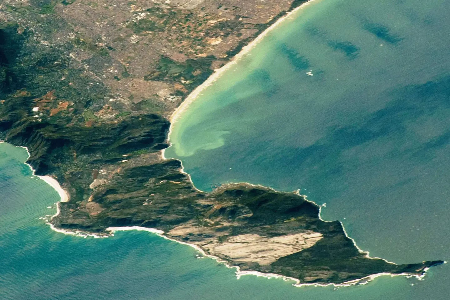
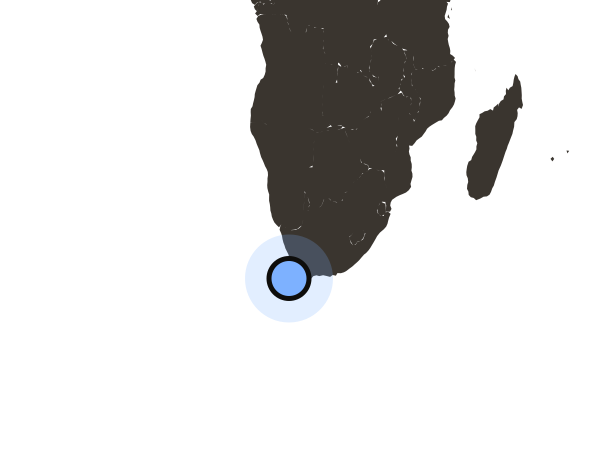
The Cape of Good Hope is a rocky headland at the southwestern end of Africa, about 50 km south of Cape Town. It is not a strait. Ships sailing between Europe and Asia pass it in open sea when they avoid the Suez Canal. Since January 2024, more cargo has gone around the cape than through Suez.
- Africa's southern tip
- 150 km
- away, at Cape Agulhas
- Rotterdam to Singapore
- +6,500 km
- around the cape instead of through Suez
- Oil a day, Apr–Jun 2026
- 9.4 million
- barrels, 6.2 million in 2023
- Cargo ships a day
- 89
- Last four weeks; 49 a day in 2023
- Country
 South Africa
Where is the Cape of Good Hope?
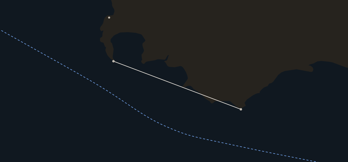
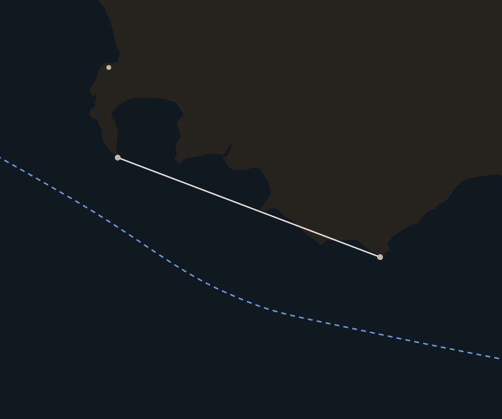
The Cape of Good Hope sits at the end of the Cape Peninsula, about 50 km south of Cape Town. Cape Point, with its lighthouse, is about 2 km to the east. Many people think the Cape of Good Hope is Africa's southern tip. It is not. That is Cape Agulhas, about 150 km to the east-southeast. The International Hydrographic Organization puts the boundary between the Atlantic and Indian oceans there. Off the coast, the cold Benguela current flows north up the west coast and the warm Agulhas current flows south-west down the east coast.
 SOUTH AFRICA
Atlantic Ocean
Indian Ocean
False Bay
Cape Town
Cape of
SOUTH AFRICA
Atlantic Ocean
Indian Ocean
False Bay
Cape Town
Cape ofGood Hope Cape Agulhas Usual route 150 km
 SOUTH AFRICA
Atlantic Ocean
False Bay
Cape Town
Cape of
SOUTH AFRICA
Atlantic Ocean
False Bay
Cape Town
Cape ofGood Hope Cape Agulhas 150 km
How many ships sail around the Cape of Good Hope?
In the four weeks to October 4, IMF PortWatch counted about 89 cargo ships and tankers a day sailing around the cape, against 49 in 2023. The count almost doubled after the Houthis began attacking ships in the Red Sea in late 2023. It averaged 49 ships a day in 2023 and 89.5 in 2025. Since January 2024, more cargo has gone around the cape than through the Suez Canal. In January 2024, 124 million tonnes went around the cape and 57 million through Suez.
Container ships went from about 6 a day in 2023 to about 20 a day from 2024 to mid-2026. In September 2026 it fell to about 16 a day, as Maersk, Hapag-Lloyd and COSCO moved some services back to Suez. Most of these ships pass South Africa without stopping at its ports.
Ships around the cape each day
Weekly average, January 2023 to October 2026
How much oil goes around the Cape of Good Hope?
About 6.2 million barrels a day of crude oil and oil products went around the cape in 2023. That rose to 9.1 million in the first half of 2025, about 11% of all oil carried by sea. It reached 9.4 million in April to June 2026. Most of the crude goes east to Asia. In the first half of 2025, 5.2 million barrels a day went to Asia, and more than 40% of that to China. The oil comes mostly from South America and Mexico (29%), West Africa (28%) and the United States (23%). Liquefied natural gas also set a record around the cape in April to June 2026.
Oil through each chokepoint
Early 2025Apr–Jun 2026Why is the sea around the cape dangerous?
Strong winds and freak waves make these waters dangerous. By tradition, the Portuguese explorer Bartolomeu Dias called it the Cape of Storms. King John II of Portugal renamed it the Cape of Good Hope. Historians disagree about this story. The winds include the dry south-easterly that Cape Town calls the "Cape Doctor". Off the east coast, waves running against the fast Agulhas current can build into freak waves up to 20 meters high. A deep trough forms in front of them. A 1980 study by oceanographer Eckart Schumann found that almost every ship damaged this way was sailing south-west with the current. South Africa's shipwreck database lists about 2,800 wrecks. In 2024, storms off South Africa knocked hundreds of containers off ships, including the CMA CGM Belem and MSC Antonia.
Ships lost or damaged off South Africa
- Birkenhead, 1852A troopship wrecked at Danger Point. 193 of about 643 people survived.
- Waratah, 1909A passenger liner that vanished between Durban and Cape Town with 211 people aboard.
- World Glory, 1968A tanker that broke in two off Durban. 24 of its 34 crew died.
- Neptune Sapphire, 1973A freak wave tore off about 61 meters of the bow on its first voyage.
- Ultra Galaxy, 2024A cargo ship that ran aground and broke apart in a storm on the west coast.
Does South Africa gain from the extra ships?
Not much. Under the UN Convention on the Law of the Sea, ships may pass through South Africa's waters, and no fee may be charged for passage. Most ships do not stop. Sales of fuel to ships in South Africa fell from about 130,000 tonnes a month in 2023 to about 80,000 in 2024. Port Louis in Mauritius sold a record 929,043 tonnes in 2024. Shipping lines cited red tape, congestion and a lack of facilities in South Africa. The World Bank's ranking of container ports, published in June 2026, put Cape Town last of 400 ports and Durban 398th. But Durban improved more than any other port in the world.
World Bank ranking of 400 container ports
- Cape Town400th, last
- Durban398th, and the world's most improved port
- Ngqura380th
- Port Elizabeth314th
The cape over the years
- 1488Portuguese explorer Bartolomeu Dias rounds the cape in a storm without seeing it and spots it on the way home. He dies in a storm off the cape in 1500.
- 1497Portuguese explorer Vasco da Gama rounds the cape on November 22 and reaches India in May 1498.
- 1652Jan van Riebeeck of the Dutch East India Company lands on April 6 to sell food to passing ships, the start of Cape Town.
- 1806Britain takes the Cape from the Dutch at the Battle of Blaauwberg on January 8 and keeps it under a treaty in 1814.
- 1967–75The Suez Canal is closed for eight years. Oil companies build supertankers too big for the canal to carry Gulf oil around the cape.
- 2024After Houthi attacks in the Red Sea, more cargo goes around the cape than through the Suez Canal from January.
Other chokepoints
All 10 chokepoints →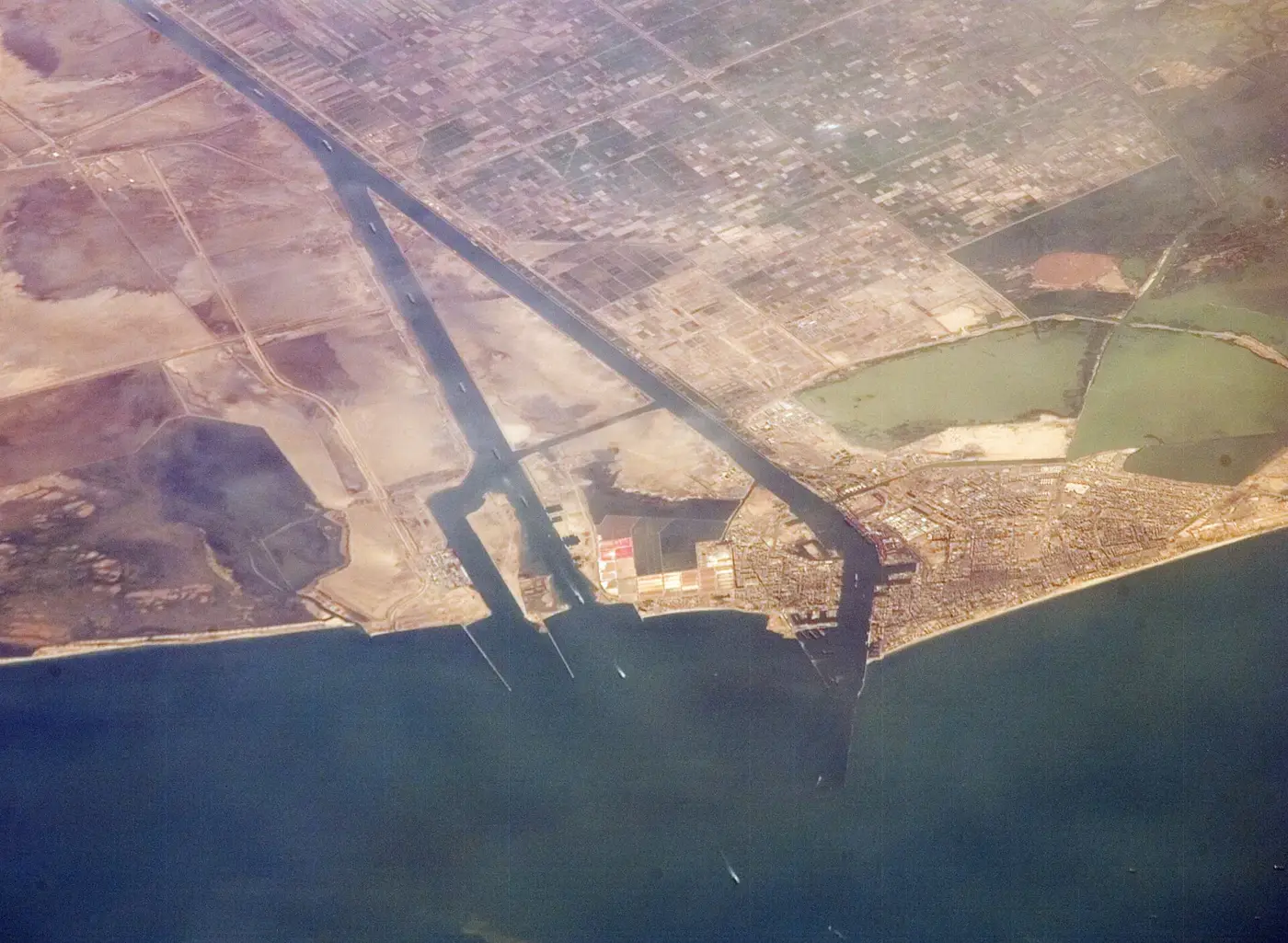 Disrupted
Suez Canal
Traffic is recovering but still well below 2023. 41 ships a day, against 74 in 2023.
Disrupted
Suez Canal
Traffic is recovering but still well below 2023. 41 ships a day, against 74 in 2023.
 Disrupted
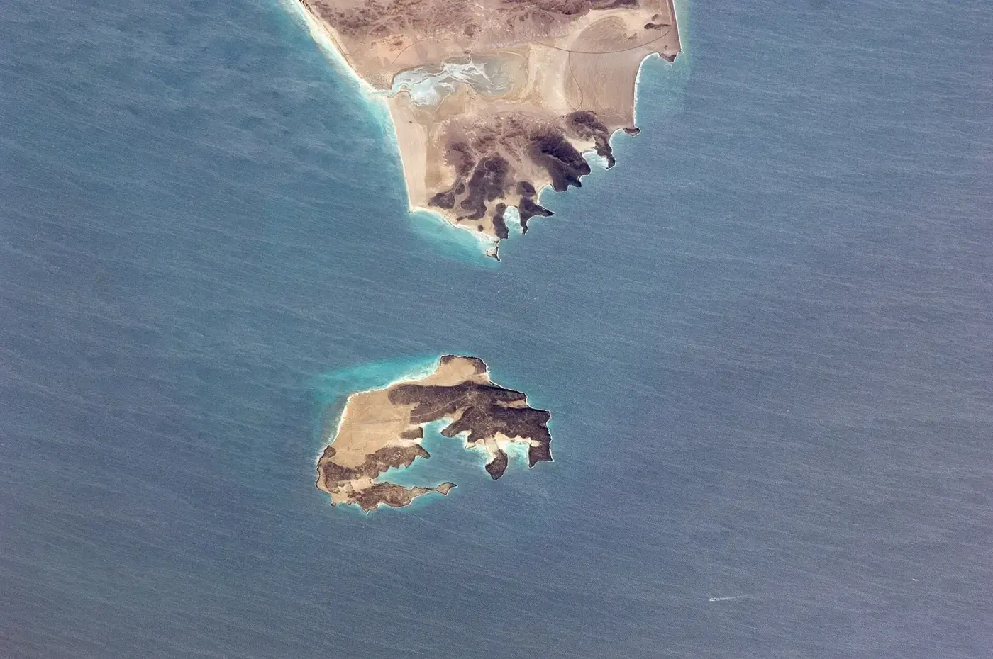
Bab el-Mandeb
Houthis hold the Yemeni shore and attack Saudi-linked ships. 27 ships a day, against 74 in 2023.
Disrupted
Bab el-Mandeb
Houthis hold the Yemeni shore and attack Saudi-linked ships. 27 ships a day, against 74 in 2023.
 Open
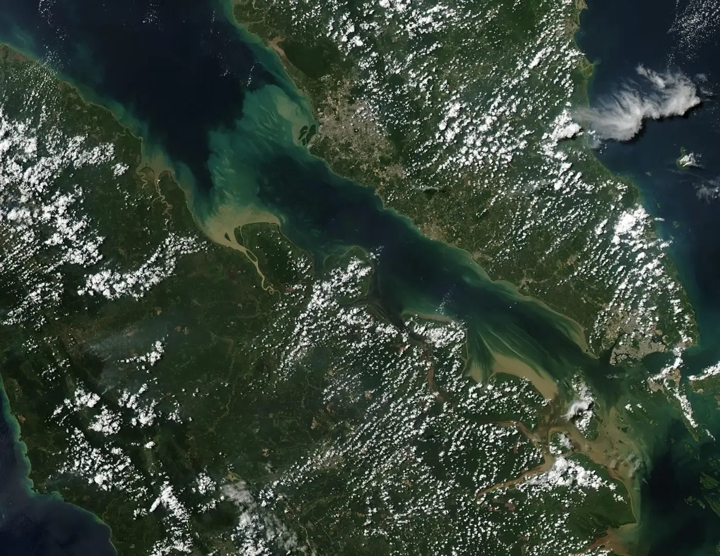
Strait of Malacca
Fewer tankers since Hormuz closed. 225 ships a day, against 220 in 2023.
Open
Strait of Malacca
Fewer tankers since Hormuz closed. 225 ships a day, against 220 in 2023.